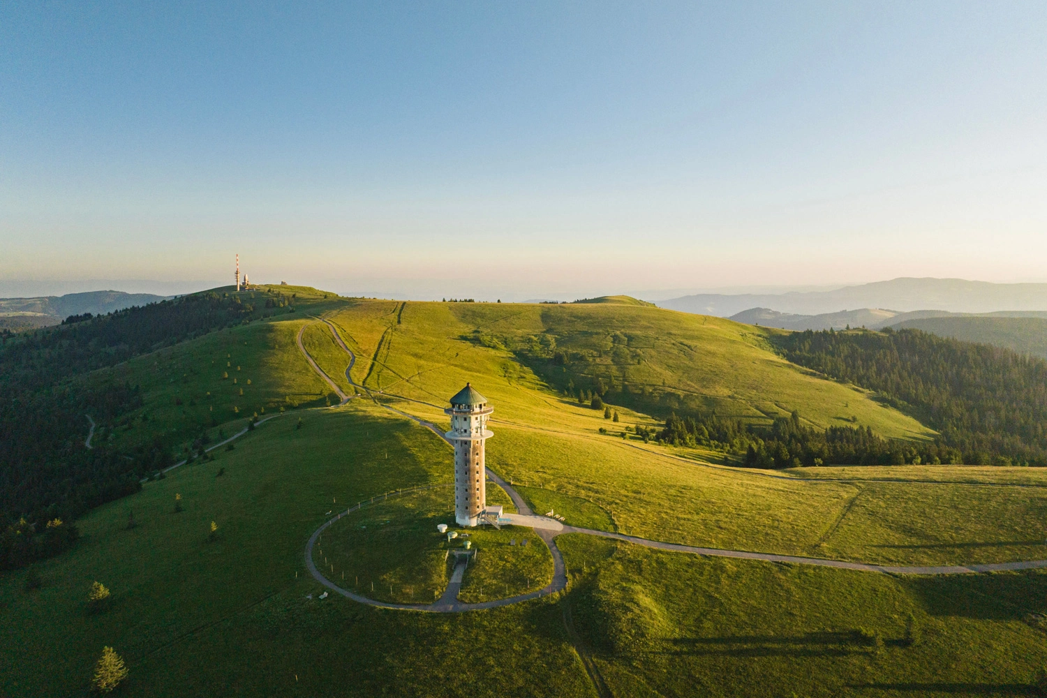
The Feldberg Tower on the Feldberg, surrounded by open high-altitude pastures and hiking trails.

7 Summit Hikes in Baden-Württemberg

The 7 Summits of Southwest Germany
29.4.2026by Bernd Sautter | Author, Moderator & Blogger
The mountains are calling! So lace up your walking boots. This impressive line-up takes you to the most striking peaks in Southwest Germany. The verdict: they’re seriously high!

The Most Scenic Summit Hikes in Baden-Württemberg

Seven Mountains, Seven Unforgettable Views
Some feelings of happiness can only be found while hiking. There is nothing quite like making your way gently up these mountains. Rising majestically above their distinctive landscapes, each peak stands proudly on its own. Once at the top, you can enjoy uninterrupted 360-degree views, with not a single hill blocking the way. Simply magnificent!Volcanoes, vineyards and rocky escarpments – no two of the seven peaks are alike. The trails are just as varied, leading through deep forests, across sparsely vegetated ridges and into damp valleys. Biodiversity abounds, while the terrain underfoot is every bit as diverse.Discover the 7 Summits of Southwest Germany on seven unique hikes. Explore new landscapes on foot, enjoy the variety of trails and be inspired by the views and natural surroundings. Each hike offers an immersive experience – unhurried, with plenty of time to savour the moment and unwind.

By the Way

If you’re looking for even more variety, you can also discover the peaks on a hike-and-bike tour. This 14-day adventure takes you through the regions of Baden-Württemberg, with the summits explored on foot along the way. It’s an active experience from start to finish, with plenty of opportunities to stop and enjoy delicious local food en route.

Mountain Hikes in Baden-Württemberg

7 Summits for Your Bucket List
1

7 Days of Hiking

Up the mountain and back down again. Seven day hikes covering 90 kilometres await you – a true highlight packed with immersive nature experiences. Each stage brings new views and memorable moments. If you have time, extend your stay in each region to discover even more viewpoints, culinary delights and local highlights. This will turn your summit tour into a truly memorable experience with lasting impressions.
2

From the Odenwald Hills to the Kaiserstuhl Wine Region

Variety is guaranteed. You start in the Odenwald hills, travel south through the Württemberg towards the Alps and continue along the beautiful shores of Lake Constance. The tour culminates on the sunny, vineyard-clad slopes of southern Baden. The route showcases virtually everything Baden-Württemberg has to offer.
3

Look Up, Marvel at the Views Below

The hiking trails leading to the summits are clearly signposted, helping you find your way safely throughout every stage. You can also easily download the various hiking routes and use them offline.
4

Explore the 7 Summits by Bike and on Foot

Want to combine cycling and hiking? No problem: travel between the mountains by bike, then hike to their summits. Covering a total of 758 kilometres, the varied cycling stages take you through impressive landscapes. Whether you choose a gravel bike or an e-bike, the route offers plenty of sporting challenges and new perspectives on Baden-Württemberg. The cycling stages are available to download. We recommend using a standard GPS bike computer for the gravel route between the mountains.
5

Read About the 7 Summits Adventure

In summer 2025, Fräulein Draussen embarked on a two-week journey through Baden-Württemberg and wrote about her experiences along the hiking and cycling routes for us:

Mount Katzenbuckel in the Odenwald Forest

Hiking Above the Treetops
  • Elevation: 626 metres
  • Elevation gain: 320 metres
  • Distance: 11.5 kilometres
  • Starting point: Strümpfelbrunn
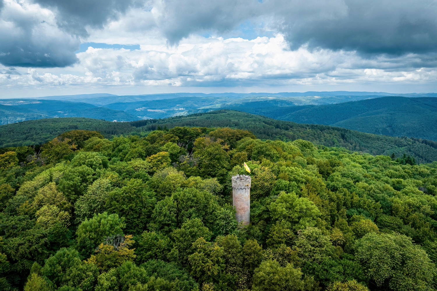
  • Don’t Be Fooled by the NameFrom several kilometres away, the highest mountain in the Odenwald Forest resembles an arched cat’s back – a Katzenbuckel in German. Standing directly below it at the starting point in Strümpfelbrunn, however, you will need more than a few feline leaps to reach the top.This delightful hike takes you through the village of Waldkatzenbach, past a small chapel to the tranquil Lake Katzenbuckelsee lake for a well-earned break. But there is more to Katzenbuckel than that: save some energy for the final ascent, as the Katzenbuckelturm observation tower awaits at the summit.Climbing the tower is highly recommended for its views across the treetops. The return route follows the Katzenpfad trail – a fitting finale once you have conquered the mountain’s mighty hump.
    The Katzenbuckel observation tower rises above the dense forest, offering a view of the rolling hills of the Odenwald. It is a symbol of foresight, hiking, and the natural beauty of the region.
    Above the treetops of the Odenwald Forest
    The Katzenbuckelturm observation tower offers sweeping views across endless forests – the highlight of the hike up Mount Katzenbuckel in the Odenwald Forest.

    Mount Hohe Brach in the Swabian-Franconian Forest

    Following in the Footsteps of the Romans
  • Elevation: 586 metres
  • Elevation gain: 210 metres
  • Distance: 9.4 kilometres
  • Starting point: Grab
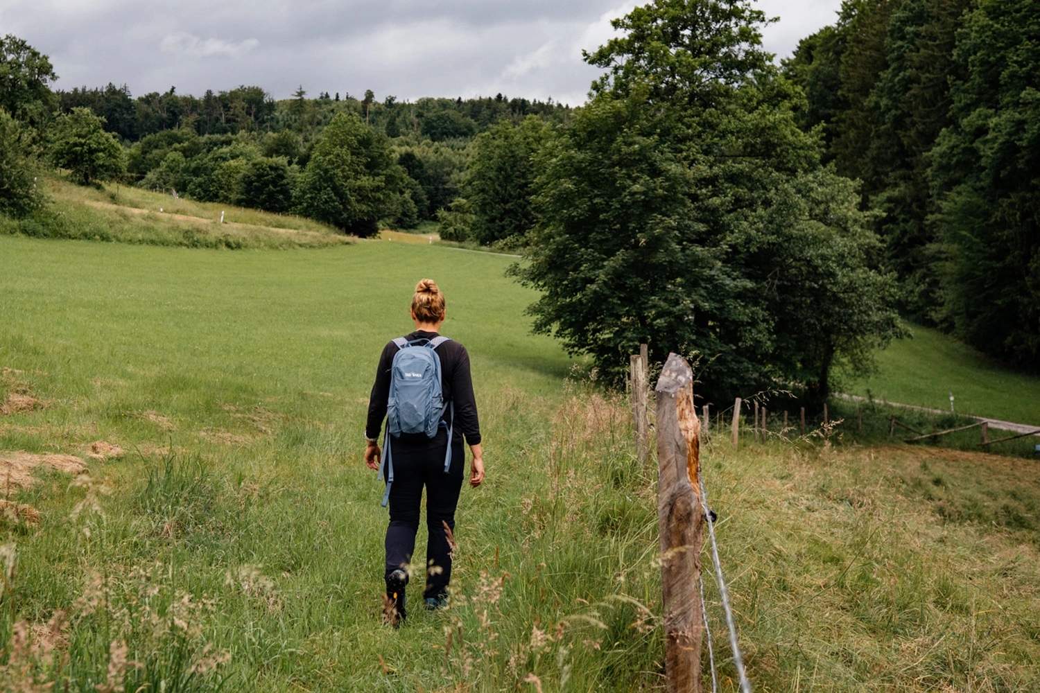
  • The Landscape Takes Centre StageMount Hohe Brach may no longer be one of Baden-Württemberg’s most strategically important elevations, but things were very different some 2,000 years ago. In the late first century AD, the Romans began fortifying their conquered territory against Germanic tribes advancing from the north. Known as the Limes, this frontier initially consisted of wooden palisades, later reinforced with ditches and earth ramparts. Remains of the Limes can still be seen today. Dense forests alternate with traditional orchard meadows, while relics and reconstructed watchtowers appear along the way. From the towers, you can gaze just as far across the landscape as the Romans once did.The Limes region in the Swabian-Franconian Forest is one of Baden-Württemberg’s hidden gems. Its circular hiking trails are perfect for curious explorers, revealing a different side of the region.
    A hiker with a backpack walks along a meadow path next to a pasture marked by wooden posts, surrounded by rolling hills and woods.
    Along quiet trails to Mount Hohe Brach
    Through meadows and woodland, the trail follows traces of the Limes – a peaceful hike to Mount Hohe Brach in the Swabian-Franconian Forest.

    Mount Schwarzer Grat in the Allgäu Region

    Sweeping Views as Far as the Alps
  • Elevation: 1,118 metres
  • Elevation gain: 420 metres
  • Distance: 10.1 kilometres
  • Starting point: Großholzleute
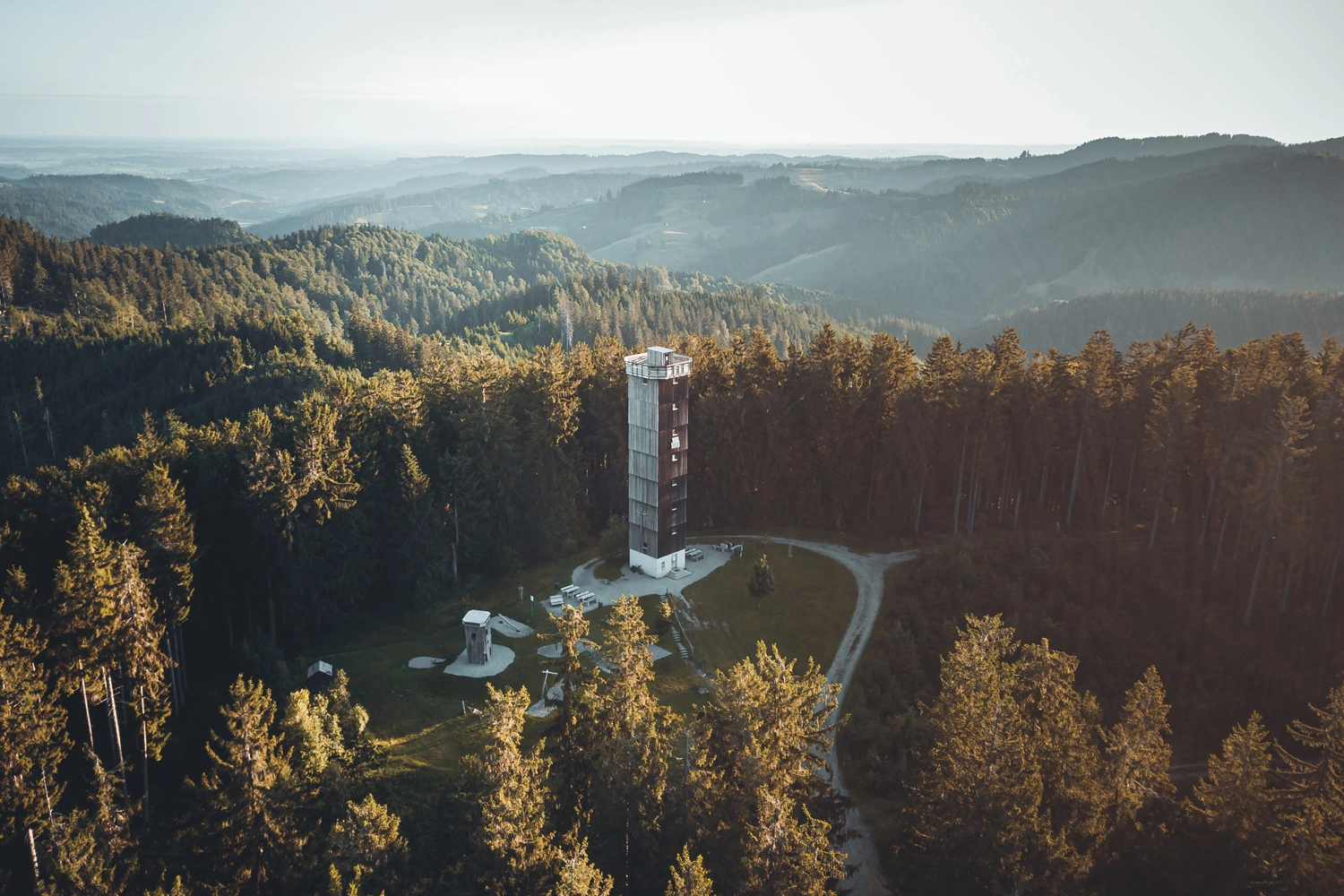
  • Schwarzer Grat means Black Ridge in German – a name that sounds almost as challenging as the Eiger North Face. Yet the highest point in the Württemberg part of the Allgäu is surprisingly accessible. This delightful discovery trail follows a gentle route along the mountainside, with informative panels making the hike both fascinating and educational.Benches and rest areas invite you to slow down, while a kiosk opens in summer. The circular Schwarzer Grat trail is a hiker’s dream. At the top, you are rewarded with views you would hardly expect from this gently sloping, wooded hill.Climbing the 156 steps of the timber-clad observation tower takes a little effort, but it is well worth it. The peaks of the northern Alps stretch across the horizon like a string of pearls. Best of all, Mount Schwarzer Grat is rewarding in almost any weather – unlike many high Alpine peaks.
    The Schwarzer Grat observation tower rises from the dense forest, offering a view over the rolling landscape to the horizon.
    Gentle summit, sweeping views
    The observation tower on Mount Schwarzer Grat offers surprisingly far-reaching views as far as the Alps – the highlight of this circular hike in the the Allgäu region.

    Mount Neuhewen in the Hegau Region near Lake Constance

    Baden-Württemberg’s Volcanic Giant
  • Elevation: 867 metres
  • Elevation gain: 250 metres
  • Distance: 8.5 kilometres
  • Starting point: Stetten
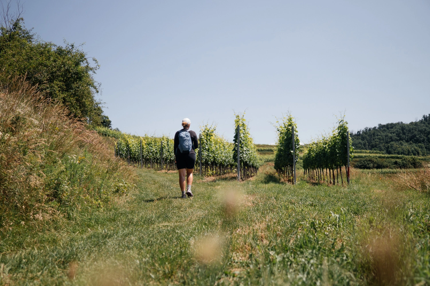
  • Another hidden gem is Mount Neuhewen in the Hegau volcanic region. It towers over the northern part of this impressive volcanic landscape, shaped by fire and lava millions of years ago. Despite being the highest of the Hegau volcanoes, it attracts less attention than its neighbours – mainly because it takes a little longer to reach.From Singen and Lake Constance, you need to travel a few kilometres further than you would to the other volcanic giants. But the journey is well worth it. Mount Neuhewen boasts a wonderful hiking trail, the Stettener Panoramaweg trail. Calling it scenic would be an understatement – premium is a far better description.One viewpoint follows another, interspersed with gentle paths across meadows and fields – a real delight. The entire premium trail involves an elevation gain of just 250 metres over eight kilometres. An outstanding nature experience!
    A hiker with a backpack on a grassy path between grapevines.
    Views from Mount Neuhewen
    The Stettener Panoramaweg trail winds gently through vineyards and meadows – hiking bliss on Mount Neuhewen, the highest of the Hegau volcanoes.

    Mount Lemberg in the Swabian Alb

    Long-Distance Views from the Swabian Alb’s Highest Peak
  • Elevation: 1,010 metres
  • Elevation gain: 480 metres
  • Distance: 13.4 kilometres
  • Starting point: Wehingen
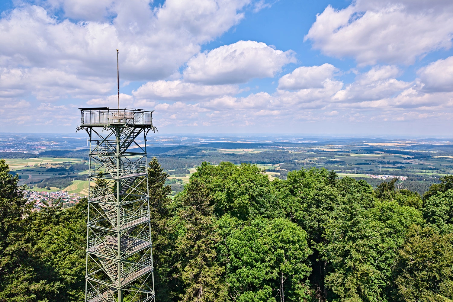
  • The Swabian Alb’s most imposing mountains are located in its far west, where the individual peaks can be difficult to tell apart. They rise side by side along the Albtrauf, the region’s mighty escarpment. Its edge rises and falls, offering sweeping views wherever the vegetation opens up the landscape to the west.Those who named the peaks clearly found it difficult to identify the highest points. But there is no doubt that Mount Lemberg, at 1,015 metres, is the highest peak in the Swabian Alb.At the summit, you can also climb the impressive Lembergturm observation tower. Somewhat boldly, some call it the Eiffel Tower of the Swabian Alb. In good weather, it offers views stretching up to 300 kilometres, deep into the Swiss Alps – perhaps even further than from the real Eiffel Tower.
    A metal observation tower on a wooded ridge in the Swabian Alb, offering sweeping views over fields and valleys.
    Sweeping views from the Swabian Alb’s highest point
    The observation tower on Mount Lemberg offers views across the Albtrauf ridge as far as the Alps – a highlight of the Swabian Alb.

    Mount Feldberg in the Black Forest Highlands

    On Top of Baden-Württemberg
  • Elevation: 1,493 metres
  • Elevation gain: 550 metres
  • Distance: 14 kilometres
  • Starting point: Feldberg Village
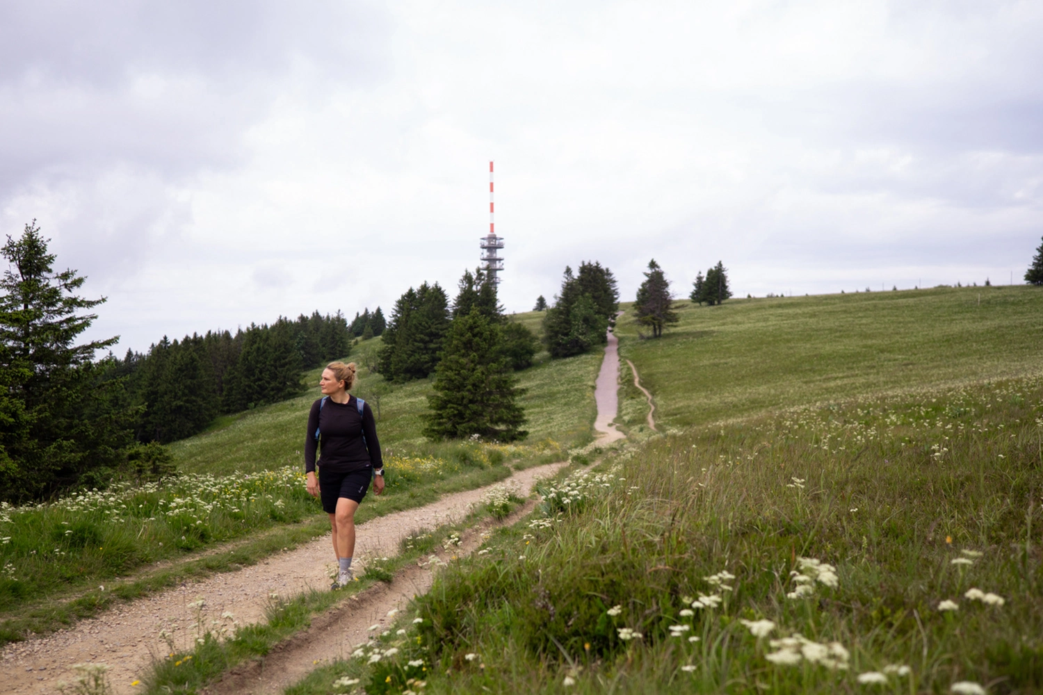
  • Mount Feldberg has it all – including panoramic 360-degree views. As the highest point in Baden-Württemberg, it attracts plenty of visitors. The fresh mountain air is particularly noticeable if you are used to the mild climate of the Rhine Valley. A word of advice: dress appropriately for the altitude.The mountain has two sides. From the village of Feldberg, the route leads across beautiful Black Forest meadows to the summit. In summer, step-free access is also available via the Feldbergbahn cable car. The other side is for hikers with sturdy footwear: the Feldbergsteig trail.This scenic trail leads through the landscape along partly rocky paths, offering a genuine mountain-hiking experience. Rustic mountain huts provide inviting places to take a break. Finally, the trail descends steeply to beautiful Lake Feldbergsee, also known as the dark eye of Mount Feldberg.
    Hiking tour: A person is walking along a gravel path through open meadows.
    Across open landscapes to Mount Feldberg
    The trail leads through flower-filled Black Forest meadows towards the summit, with the crisp mountain air accompanying you along the way.

    Mount Totenkopf in the Kaiserstuhl Hills

    Vineyards and Sweeping Views
  • Elevation: 556 metres
  • Elevation gain: 870 metres
  • Distance: 23.1 kilometres
  • Starting point: Endingen im Kaiserstuhl
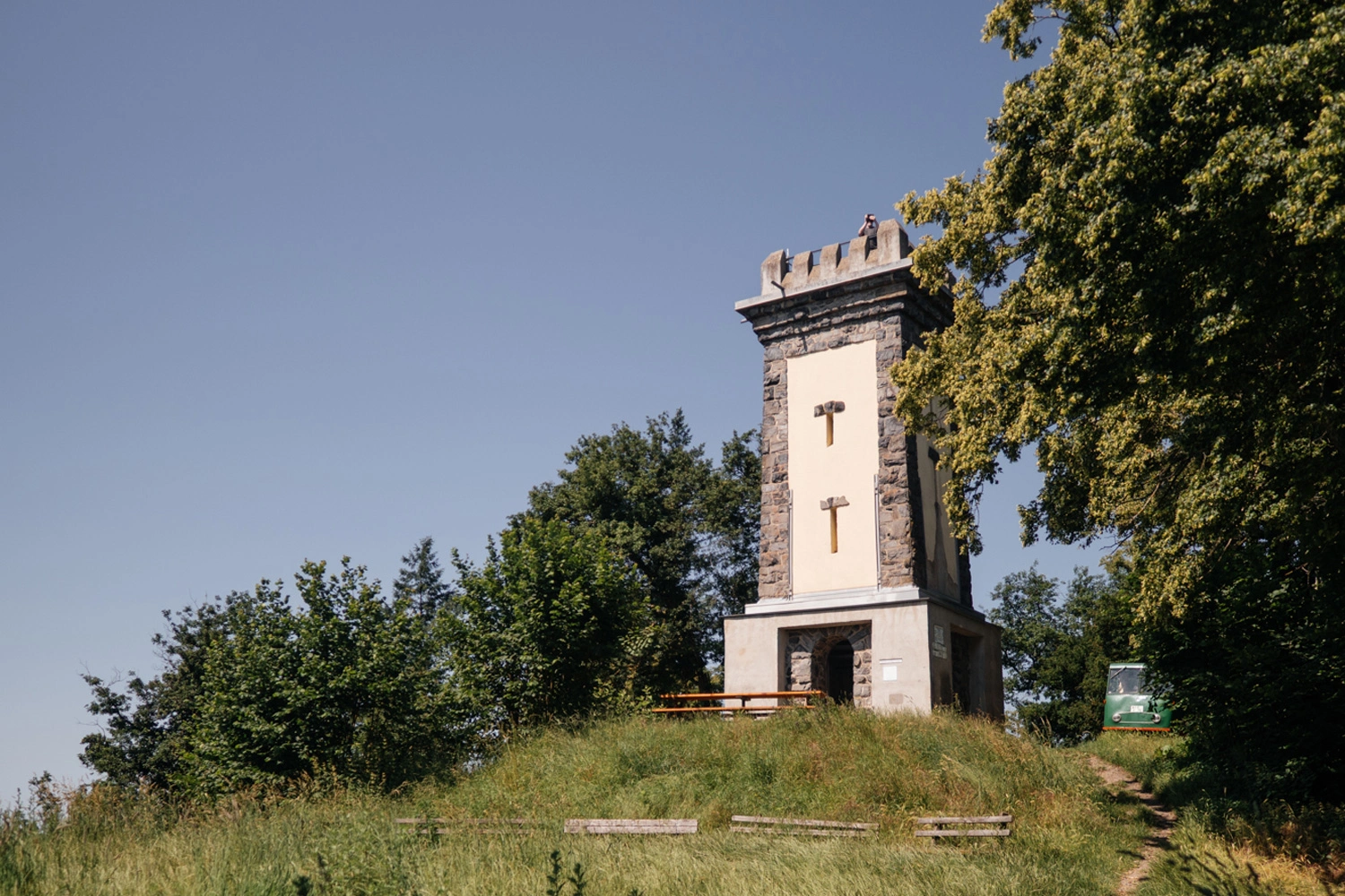
  • The Kaiserstuhl may be the smallest mountain range in Baden-Württemberg – and many claim it is also the most beautiful. Hiking straight across it is well worthwhile, as the landscape’s distinctive vineyard terraces are truly unique. The Kaiserstuhlpfad trail leads from Endingen in the north to Ihringen in the south, with convenient train connections for the return journey.The warm climate attracts colourful butterflies, vivid green lizards and darting European bee-eaters. Its biodiversity is remarkable, with around 35 species of orchid recorded here.The approximately 23-kilometre trail offers countless views and plenty of places to stop for food and drinks. Even so, be sure to take a bottle of water – it is better to carry too much than too little. If you are used to the climate in other regions, the Kaiserstuhl can feel almost tropical.
    The Skull Tower on the Kaiserstuhl stands on a wooded hilltop, featuring a bench and a trail leading up to it.
    Vineyards and sweeping views in the Kaiserstuhl hills
    The Totenkopf observation tower stands directly on the Kaiserstuhlpfad trail, rewarding the journey across the region with views over vineyards and the sun-drenched volcanic landscape.

    More About the 7 Summits in Baden-Württemberg

    Plan Your Next Summit Adventure
    • Go to article
      NatureHiking
      Kaiserstuhlpfad
      The Kaiserstuhl Trail has been awarded the "Quality Trail Wanderbares Deutschland" certificate!
      Black ForestHard6:30h21.7kmOne way tour
    • Go to article
      NatureHiking
      Hochschwarzwald - Premiumwanderung "Feldberg Steig"
      Nature of the trail:Forest tracks, pathsPlaces of interest:Bismarck monument, House of Nature, Alpine viewRefreshment stops:St.Wilhelmer Hütte, Zastler Hütte, Baldenweger Hütte, Todtnauer H[tte, Seebu...
      Black ForestMedium4:30h12.6kmLoop tour
    2 / 2
    Go to article
    NatureHiking
    Kaiserstuhlpfad
    The Kaiserstuhl Trail has been awarded the "Quality Trail Wanderbares Deutschland" certificate!
    Black ForestHard6:30h21.7kmOne way tour
    Go to article
    NatureHiking
    Hochschwarzwald - Premiumwanderung "Feldberg Steig"
    Nature of the trail:Forest tracks, pathsPlaces of interest:Bismarck monument, House of Nature, Alpine viewRefreshment stops:St.Wilhelmer Hütte, Zastler Hütte, Baldenweger Hütte, Todtnauer H[tte, Seebu...
    Black ForestMedium4:30h12.6kmLoop tour
    Find Your Favourite Tour: Click Here for an Overview!